Capabilities
Technical depth across the geoscience workflow.
From the field to the model to the boardroom — capability that scales with the complexity of your project.
Geological interpretation
Translating observations, logs and data into defensible geological models.
Geospatial workflows
Structured GIS pipelines from data capture to analysis-ready layers.
Geotechnical integration
Ground conditions framed for engineering decisions.
Technical software
ArcGIS, QGIS, Leapfrog, Datamine, Seequent, Deswik and more.
Geophysical integration
Joint interpretation across geology and geophysics.
Field-aligned analysis
Office work informed by real field constraints.
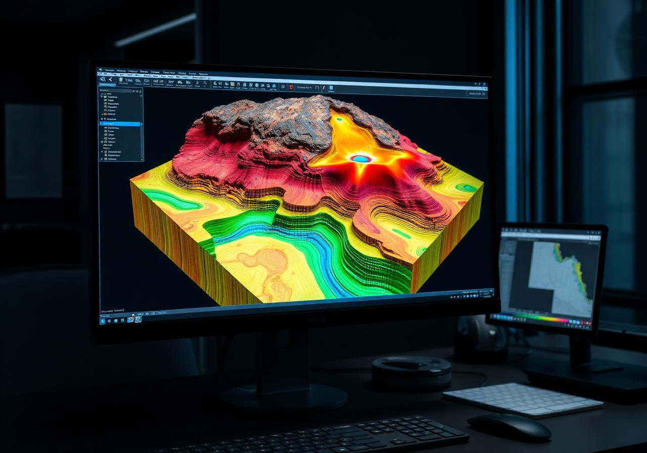
3D subsurface modelling
Models built for stakeholders, not just specialists.
Technical reporting
Reports structured for review, audit and operational use.
Professional communication
Clear briefings between geology, engineering and management.
Software stack
Industry-standard tools, applied with judgement.
Tools matter — but only when they're driven by people who understand the geology behind the data.